University of Idaho Resources

GIS Software & Support Services
Download and license GIS software, find out about self-paced E-learning courses, or schedule a consultation.

U of I Licensed Aerial Imagery
Browse a list of licensed aerial imagery having access and use restricted to those affiliated with the U of I

U of I Gallery
Browse a list of resources managed by the U of I to advance research, teaching, and outreach
State of Idaho Resources

Idaho Geospatial Office
Learn about the Idaho GIS community and statewide geospatial data coordination efforts

Idaho Lidar Consortium
Download Idaho Lidar data, see planned lidar acquisitions, and learn about Lidar-related events

Idaho Framework Data
The Idaho Map (TIM) is comprised of 16 data layers that underpin many if not all GIS projects
StoryMaps


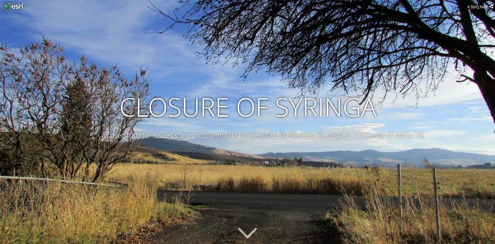


Transform your digital storytelling with custom maps
ArcGIS StoryMaps helps you tell remarkable stories with custom maps. Using user generated maps from around the world, you can build your own beautiful website with no coding necessary.
This simple map maker can help you create digital stories and visual narratives to help you tell your own story and/or the story of your research.
Explore Stories from the University of Idaho
Our Applications

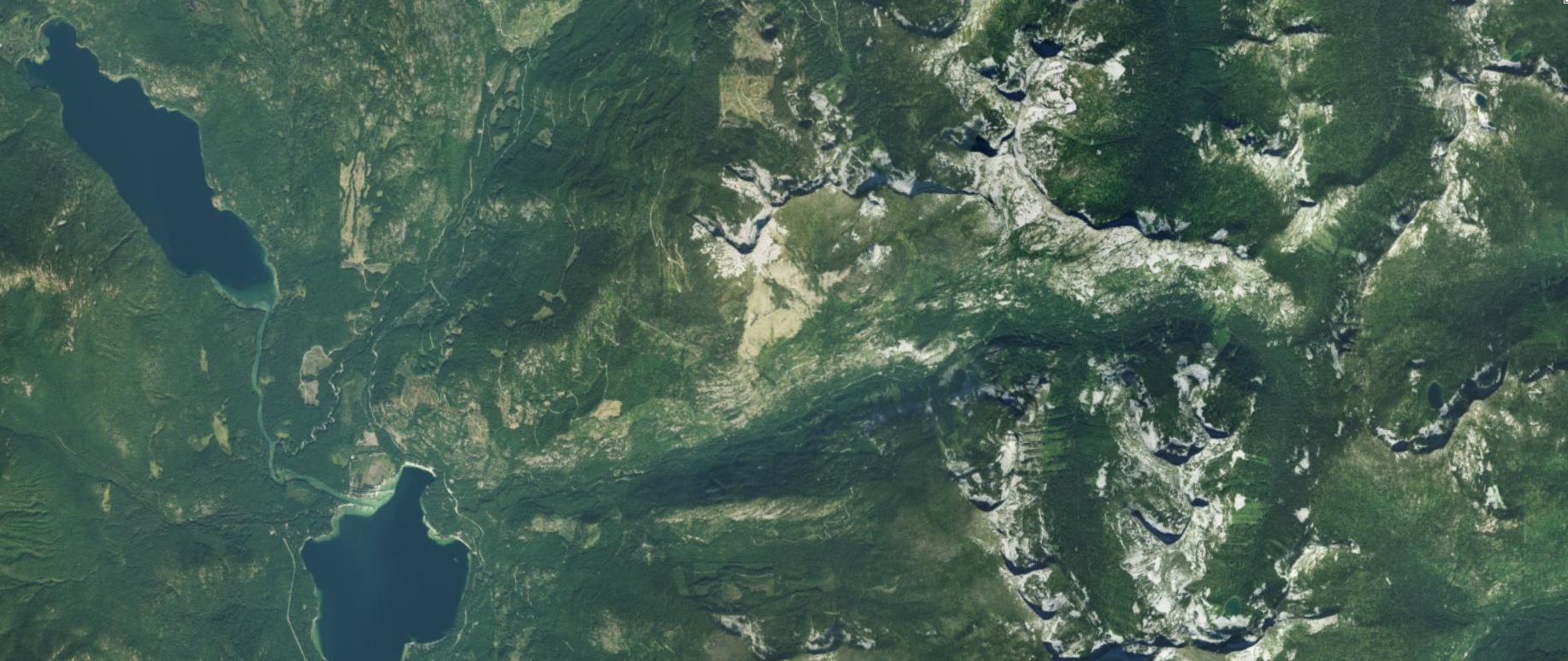
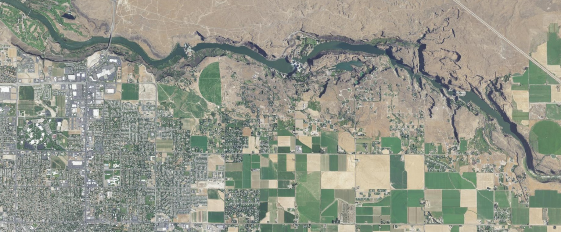
Idaho Aerial Imagery Explorer
Discover, explore, and download publicly-accessible digital georeferenced aerial imagery

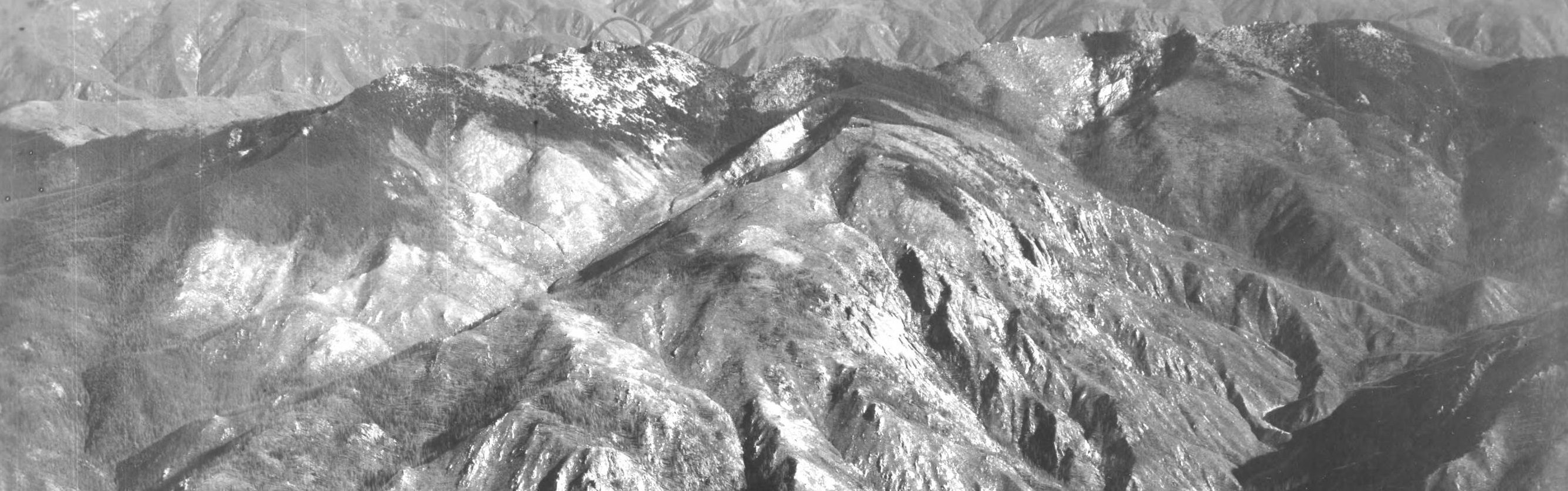
Idaho Historical Topographic Maps
Explore and download historical topographic maps sourced from the U.S. Geological Survey

Idaho Elevation Data
Download National Elevation Dataset tiles sourced from the U.S. Geological Survey
Idaho Ground Snow Loads
An interactive map providing normalized ground snow load calculations based on location